Alaska Earthquake: Understanding The State's High Seismic Activity

Welcome to your ultimate source for breaking news, trending updates, and in-depth stories from around the world. Whether it's politics, technology, entertainment, sports, or lifestyle, we bring you real-time updates that keep you informed and ahead of the curve.
Our team works tirelessly to ensure you never miss a moment. From the latest developments in global events to the most talked-about topics on social media, our news platform is designed to deliver accurate and timely information, all in one place.
Stay in the know and join thousands of readers who trust us for reliable, up-to-date content. Explore our expertly curated articles and dive deeper into the stories that matter to you. Visit Best Website now and be part of the conversation. Don't miss out on the headlines that shape our world!
Table of Contents
Alaska Earthquake: Understanding the State's High Seismic Activity
Alaska. The name conjures images of breathtaking glaciers, majestic mountains, and abundant wildlife. But beneath this stunning landscape lies a powerful force: significant seismic activity. Recent earthquakes serve as a stark reminder of Alaska's precarious position on the volatile Ring of Fire, a region encompassing the Pacific Ocean rim known for its frequent earthquakes and volcanic eruptions. Understanding this geological reality is crucial for both residents and those interested in the state's fascinating, and sometimes dangerous, geography.
<h3>Why is Alaska So Earthquake-Prone?</h3>
Alaska's high seismic activity is primarily due to its location along the Ring of Fire. This horseshoe-shaped zone marks the boundary where several tectonic plates collide, grind against each other, and subduct (slide beneath) one another. The Pacific Plate, a massive piece of Earth's crust, is constantly moving and interacting with the North American Plate beneath Alaska. This constant friction and pressure build up immense stress, which is periodically released in the form of earthquakes.
The movement isn't uniform. Different parts of the Alaskan tectonic landscape experience varying degrees of pressure and movement, leading to a wide range of earthquake magnitudes and frequencies. The Aleutian Islands, for example, are particularly active due to the subduction zone where the Pacific Plate dives beneath the North American Plate. This process creates a complex network of faults, making the region incredibly susceptible to seismic events.
<h3>The Magnitude of Alaskan Earthquakes: From Tremors to Major Shakers</h3>
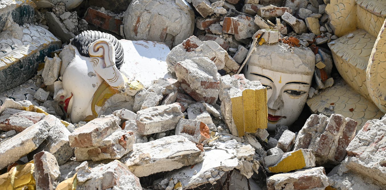
Alaska experiences thousands of earthquakes annually, most of which are too small to be felt. However, the state also endures significant earthquakes capable of causing widespread damage. The 1964 Great Alaskan Earthquake, a magnitude 9.2 event, remains the second-largest earthquake ever recorded, highlighting the potential destructive power of seismic activity in the region. This devastating earthquake caused widespread destruction and triggered a massive tsunami that impacted communities along the Pacific Coast.
While less frequent, major earthquakes can have catastrophic consequences, impacting infrastructure, triggering tsunamis, and leading to significant loss of life. Understanding the potential for large earthquakes is critical for effective disaster preparedness and mitigation strategies.
<h3>Living with the Tremors: Preparing for Earthquakes in Alaska</h3>
Living in a seismically active region requires preparedness. The Alaska Earthquake Center () provides valuable resources and information on earthquake preparedness. This includes:
- Developing an emergency plan: Knowing where to meet, having emergency supplies, and practicing evacuation procedures are vital.
- Securing your home: Strengthening structures, securing heavy objects, and understanding building codes specific to seismic zones are crucial steps.
- Staying informed: Monitoring earthquake alerts and warnings through reliable sources like the National Earthquake Information Center () is essential.
<h3>Ongoing Research and Monitoring: Understanding the Future</h3>
Scientists continually monitor Alaska's seismic activity using advanced technology, including seismic networks and GPS measurements. This research helps improve earthquake prediction models and refine hazard assessments. Understanding the complex interplay of tectonic plates and fault systems is crucial for mitigating the risks associated with future earthquakes. The Alaska Volcano Observatory () also plays a critical role in monitoring volcanic activity, which often accompanies seismic events in the region.
In conclusion, Alaska's high seismic activity is a consequence of its unique geological location. Understanding the underlying causes, preparing for future events, and supporting ongoing research are crucial for ensuring the safety and resilience of Alaskan communities. The state's beauty is undeniable, but awareness and preparation are essential aspects of life in this stunning, yet geologically dynamic region.
Thank you for visiting our website, your trusted source for the latest updates and in-depth coverage on Alaska Earthquake: Understanding The State's High Seismic Activity. We're committed to keeping you informed with timely and accurate information to meet your curiosity and needs.
If you have any questions, suggestions, or feedback, we'd love to hear from you. Your insights are valuable to us and help us improve to serve you better. Feel free to reach out through our contact page.
Don't forget to bookmark our website and check back regularly for the latest headlines and trending topics. See you next time, and thank you for being part of our growing community!
Featured Posts
-
 Heat Dome And Angry Storms Combine Prepare For Severe Weather
Jul 21, 2025
Heat Dome And Angry Storms Combine Prepare For Severe Weather
Jul 21, 2025 -
 Napheesa Collier Sets All Star Record Leads Team To Win
Jul 21, 2025
Napheesa Collier Sets All Star Record Leads Team To Win
Jul 21, 2025 -
 Unprecedented Earthquake Video Surface Movement Revealed
Jul 21, 2025
Unprecedented Earthquake Video Surface Movement Revealed
Jul 21, 2025 -
 How The Comic Strip Revolutionized British Comedy
Jul 21, 2025
How The Comic Strip Revolutionized British Comedy
Jul 21, 2025 -
 Oleksandr Usyk Dubois Defeat Confirms Heavyweight Dominance
Jul 21, 2025
Oleksandr Usyk Dubois Defeat Confirms Heavyweight Dominance
Jul 21, 2025
Latest Posts
-
 Holloway Triumphs Ufc 318 Main Event Victory In Poiriers Farewell Fight
Jul 21, 2025
Holloway Triumphs Ufc 318 Main Event Victory In Poiriers Farewell Fight
Jul 21, 2025 -
 Hair Pulling Red Card Kathrin Hendrichs Dismissal Shakes Germanys Euro Hopes
Jul 21, 2025
Hair Pulling Red Card Kathrin Hendrichs Dismissal Shakes Germanys Euro Hopes
Jul 21, 2025 -
 Equal Pay Fight Takes Center Stage Wnba All Stars Bold Statement At The All Star Game
Jul 21, 2025
Equal Pay Fight Takes Center Stage Wnba All Stars Bold Statement At The All Star Game
Jul 21, 2025 -
 Nba Free Agency Tracking All The Latest Signings And Trades Including The Lakers Smart Acquisition
Jul 21, 2025
Nba Free Agency Tracking All The Latest Signings And Trades Including The Lakers Smart Acquisition
Jul 21, 2025 -
 2025 Nba Free Agency Is A Chris Paul Clippers Return Likely
Jul 21, 2025
2025 Nba Free Agency Is A Chris Paul Clippers Return Likely
Jul 21, 2025

